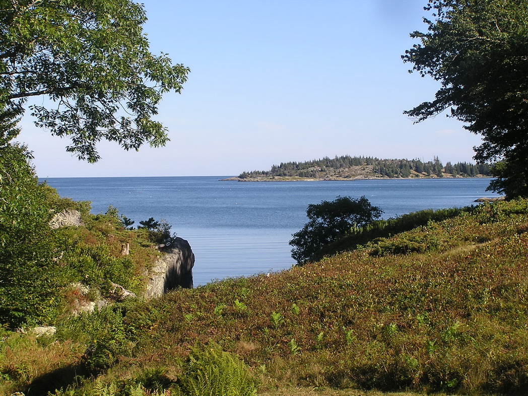


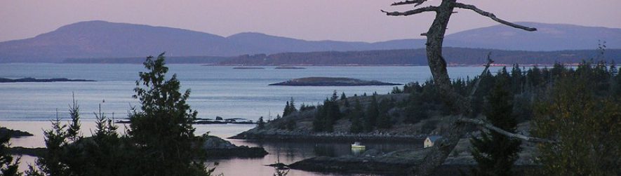


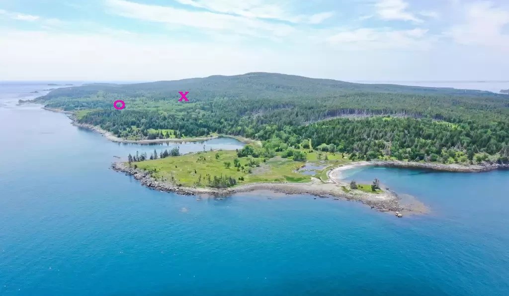
The pink “x” indicates where I live (looking off to the left – to the wide open Atlantic Ocean from a hill top) and the pink “o” indicates where my family’s summer house is located down by the shore at the head of a long inlet/cove. My family owns a big chunk of land as well as some shore frontage, my house being in the centre of it. You can see where busy little lumberjack Matthew has cut out the trashy spruce trees and allowed maples, oaks, and pines to grow up instead. Although you don’t see any houses in this picture there are some houses along the shore starting with my family’s house and going (in this photo) down the shore to the back and left side of the photo.